
Daftar Isi ACTIA
Toggle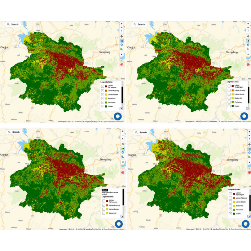
They have a scientifically verified carbon map.
The Actia Carbon team conducts a preliminary analysis of the company's land data—covering location, area, ecosystem type, and the client's business objectives. This stage determines the most appropriate methodology, whether for carbon credits, Strategic Environmental Assessment (KLHS), green financing, or ESG reporting.
(Week 1–2)
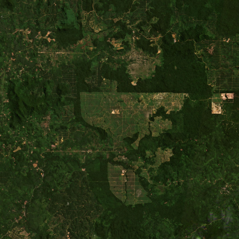
We use a combination of high-resolution remote sensing data (multi-temporal satellite imagery) and field surveys to verify land cover conditions, biomass estimates, and actual carbon stocks. It is this field data that allows our results to be verified by international third parties—rather than being merely figures generated from a desk.
(Weeks 2–5)
Data were processed using a GIS platform and IPCC Tier 2/Tier 3 models to generate: carbon stock maps, land-use/land-cover (LULC) change analysis, historical emission estimates, and projections of potential carbon credits over the next 10–30 years.
(Weeks 4–8)
The client receives a complete package of reports and data that is ready for immediate use.
(Week 6–12)
| No. | Deliverable | Immediate Application |
| 1 | Carbon Stock Map (GIS format) | Basis for carbon project registration with KLHK’s SRN |
| 2 | Land Use/Land Cover (LULC) Change Analysis Report | SEA (KLHS) documentation, permitting, due diligence |
| 3 | Carbon Credit Potential Estimate (tons CO₂e, 10–30 years) | Investor presentations, green financing |
| 4 | Spatial Emissions Baseline Report (aligned with IPCC & GHG Protocol) | ESG reporting, ISSB S1/S2 compliance |
| 5 | Executive Summary Document for management & investors | Board presentations, ESG disclosure |
| 6 | Data integration into the Actia Carbon platform (real-time monitoring) | Automated updates; eliminates the need for annual re-studies |
| 7 | Follow-up consultation (3 months post-delivery) | Guidance on monetizing results |
Q: Is this mapping result sufficient to directly register for carbon credits with IDXCarbon?
A: Actia Carbon’s Spatial Carbon Intelligence report is designed using a methodology aligned with the Ministry of Environment and Forestry’s (KLHK) SRN standards and international standards like VCS/Gold Standard. Full carbon project registration requires third-party accredited verification; however, our documentation already meets all technical requirements for that stage. Clients do not need to pay for a new study from scratch.
Q: How long does the process take?
A: Depending on the land area and complexity, it takes an average of 6–12 weeks from kick-off to the final report delivery. For land areas under 5,000 hectares with complete supporting data, the process can be faster.
Q: We already have a GHG Inventory report from another consultant. Do we still need this service?
A: A GHG Inventory report calculates the emissions a company generates. A Spatial Carbon Map identifies the carbon potential stored within the company’s land ecosystem. These are distinct yet complementary documents. Most companies possess the former but lack the latter—yet it is the latter that unlocks access to carbon revenue.
Q: Is this service suitable for companies that have never engaged with the carbon market?
A: That is precisely the client segment that benefits the most. The Actia Carbon team guides the entire process from the start, including explaining the Indonesian carbon market mechanism, applicable regulations, and the concrete steps to take once the report is complete.
Q: What about the confidentiality of our company’s land data?
A: All client data is protected by a Non-Disclosure Agreement (NDA) signed before the engagement begins. Data is never shared with third parties without the client’s written consent.
Q: What is the required investment?
A: Each project has a different scope depending on land area, ecosystem type, and business objectives. Actia Carbon offers a **free 60-minute initial consultation** to understand your company’s needs and provide a transparent investment estimate—with no obligation.